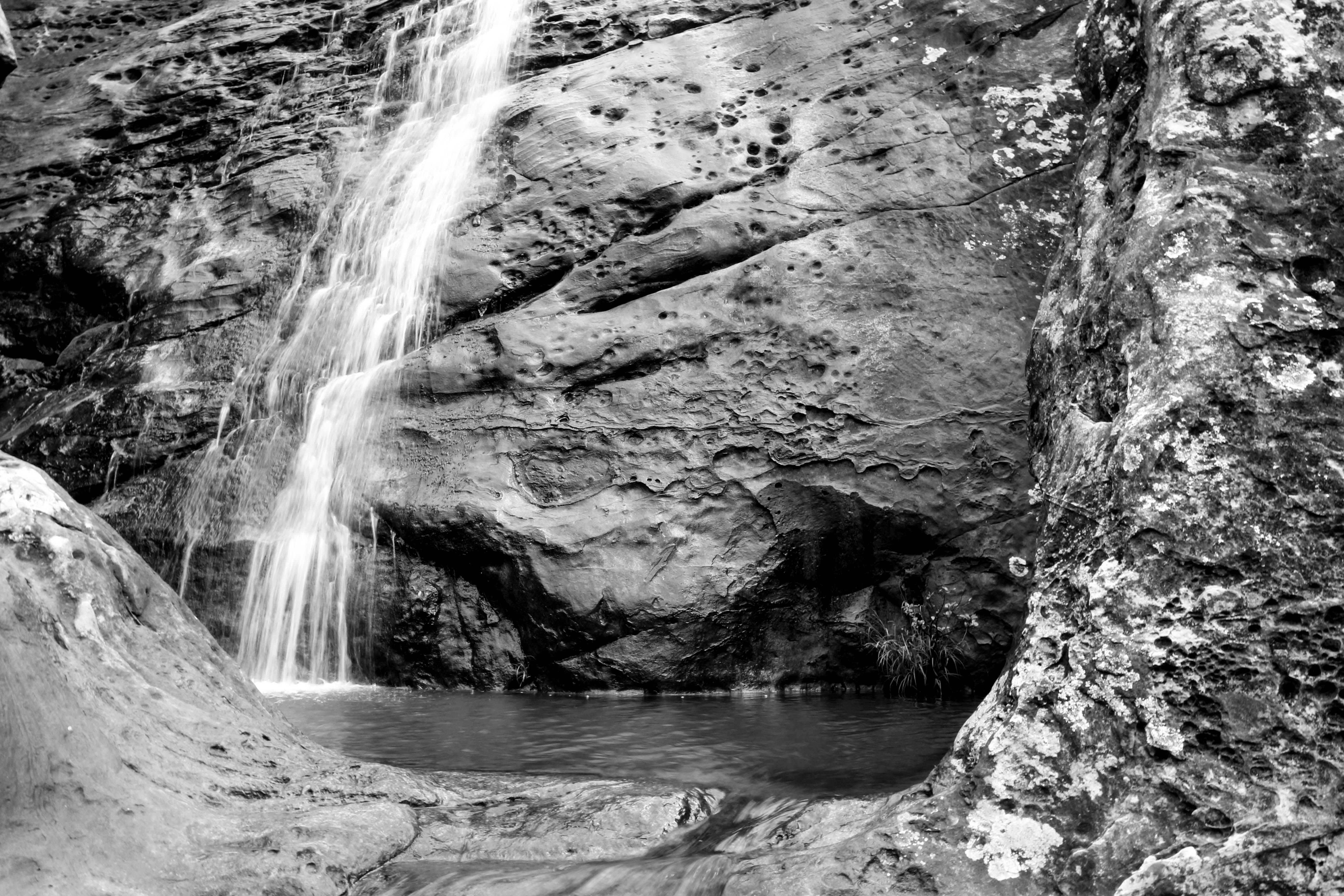
In Spain’s south, Cádiz province offers the nature lover all that s/he could wish for. Dunes to the south, wetlands to the west, and in the interior hills, mountains, and valleys to wander, conquer, and descend. It has two national parks to explore; the Sierras de Grazalema to the east, and the Alcornocales National Park toward the south. The photos that follow are taken from some of my trips through these hills.
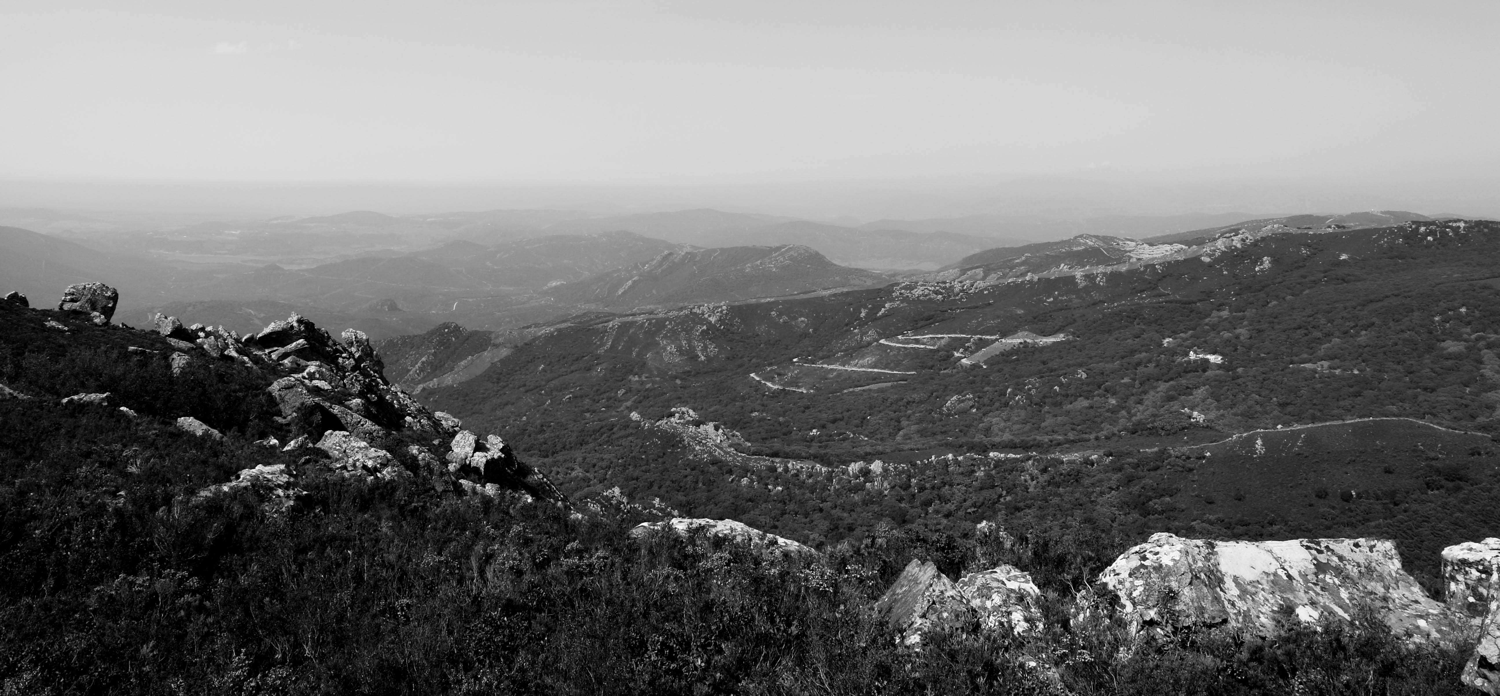
El Picacho (882m) and the Alcornocales
The Alcornocales National Park is at the southern end of the Cádiz Province. Not only is the park a magnet for Sundaying domingueros, hikers, and climbers, but it also provides for a sustainable agro-forestry industry in the form of cork collection. It hosts two of the largest peaks in Cádiz: the Pico del Aljibe, at 1,200 metres, and the more approachable though by no means walk-in-the-palk Picacho, at 882 metres.

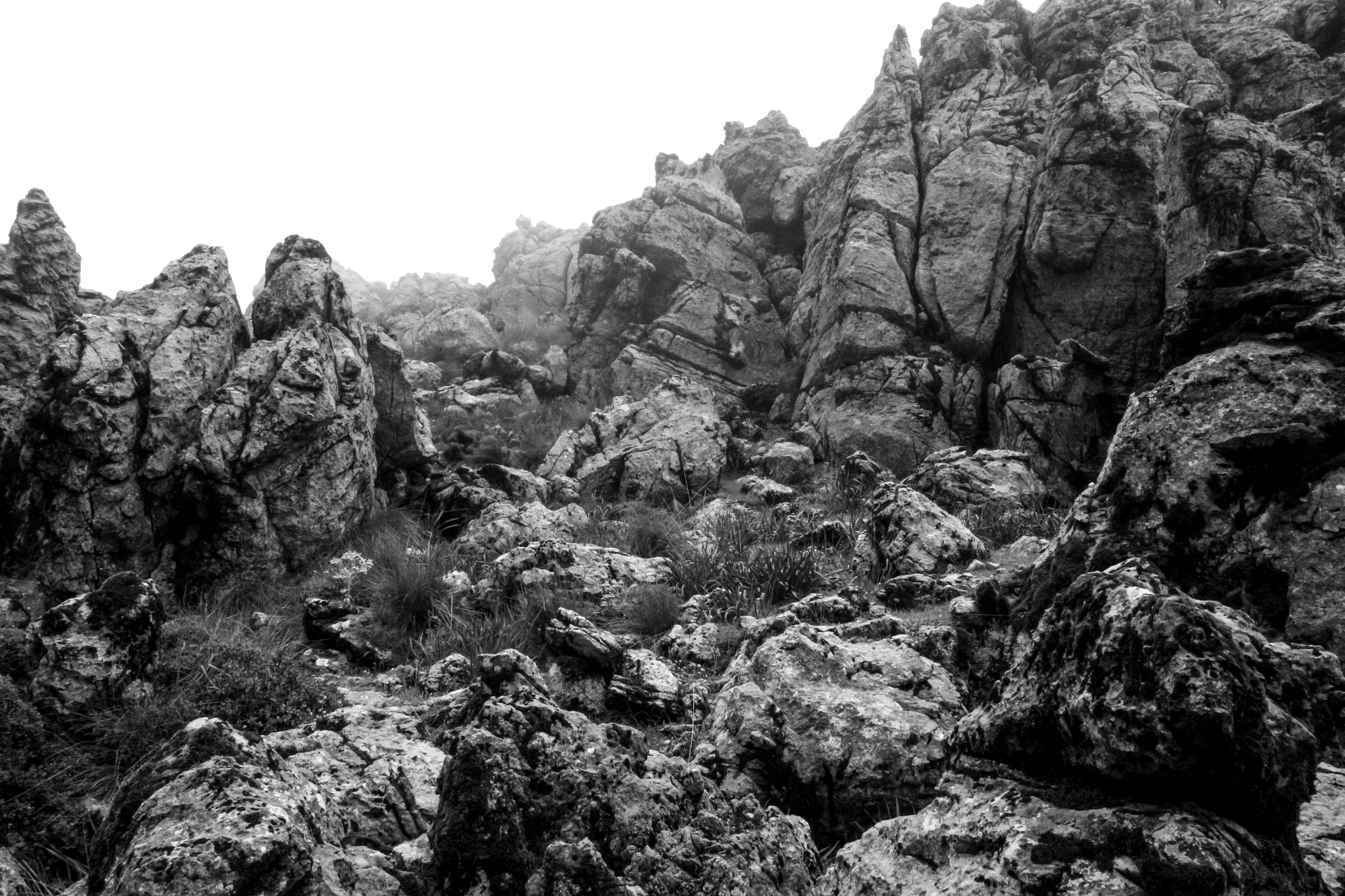
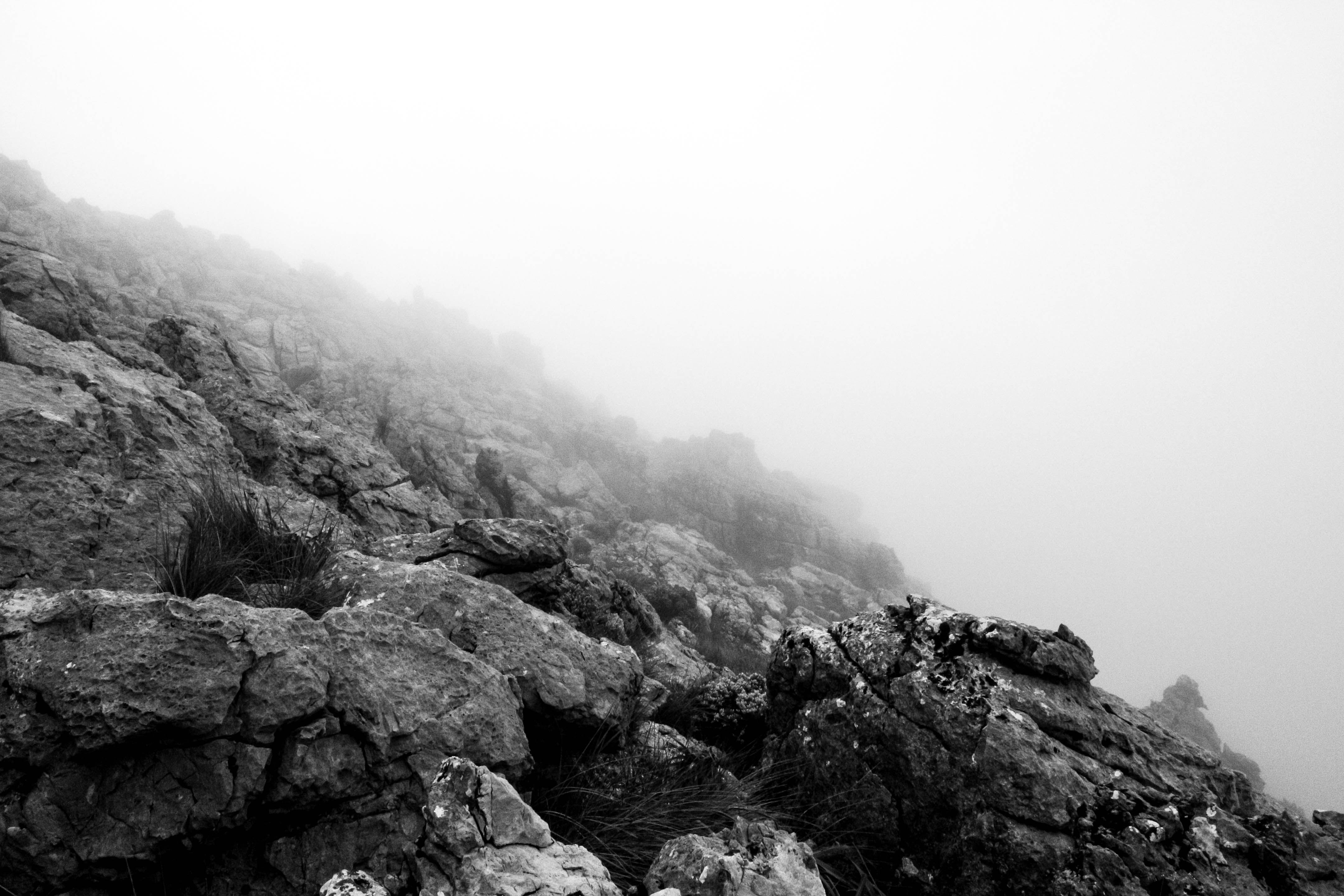
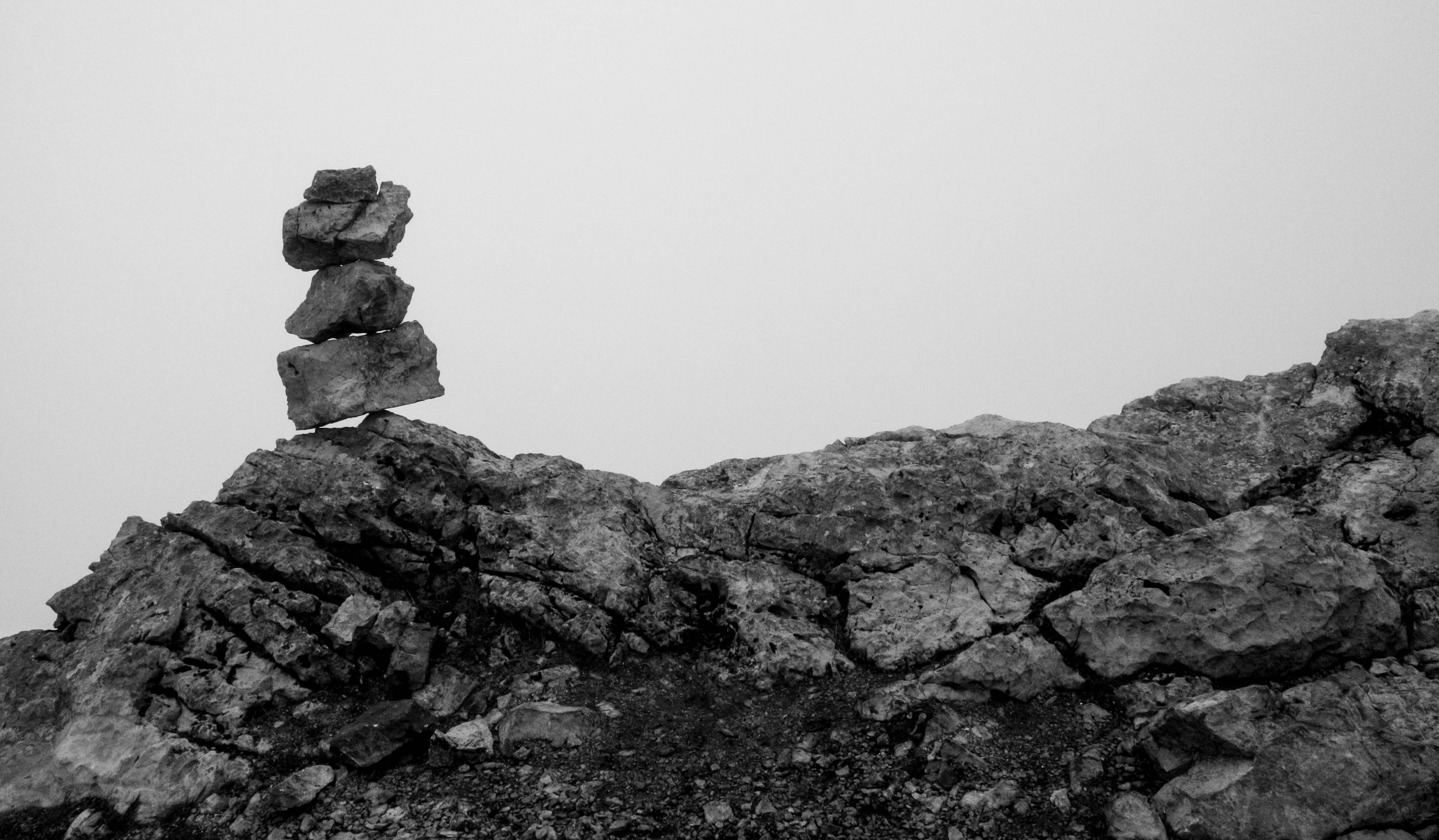
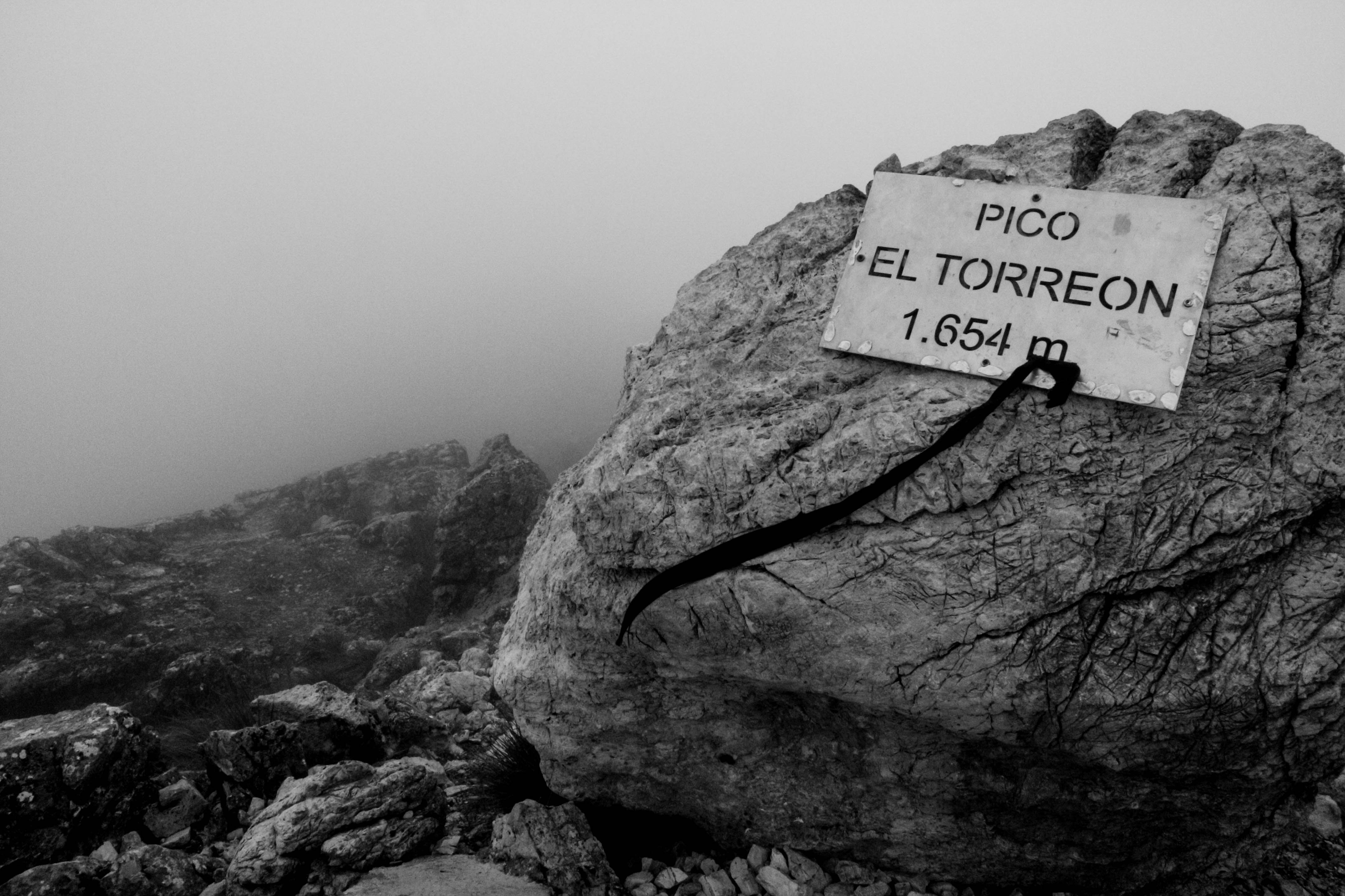
El Torreón (1,654m)
Dominating the Cádiz horizon is the enormous Torreón, the highest in the province. This imposing mountain can be seen from Jerez itself, and from the top you can see as far as the African coastline (if you’re lucky enough to have a clear view). Rising above the cloud line, the mountain rises to 1,654 metres above sea-level, and the climber will haveto ascend nearly 800 metres in just three kilometres of path.
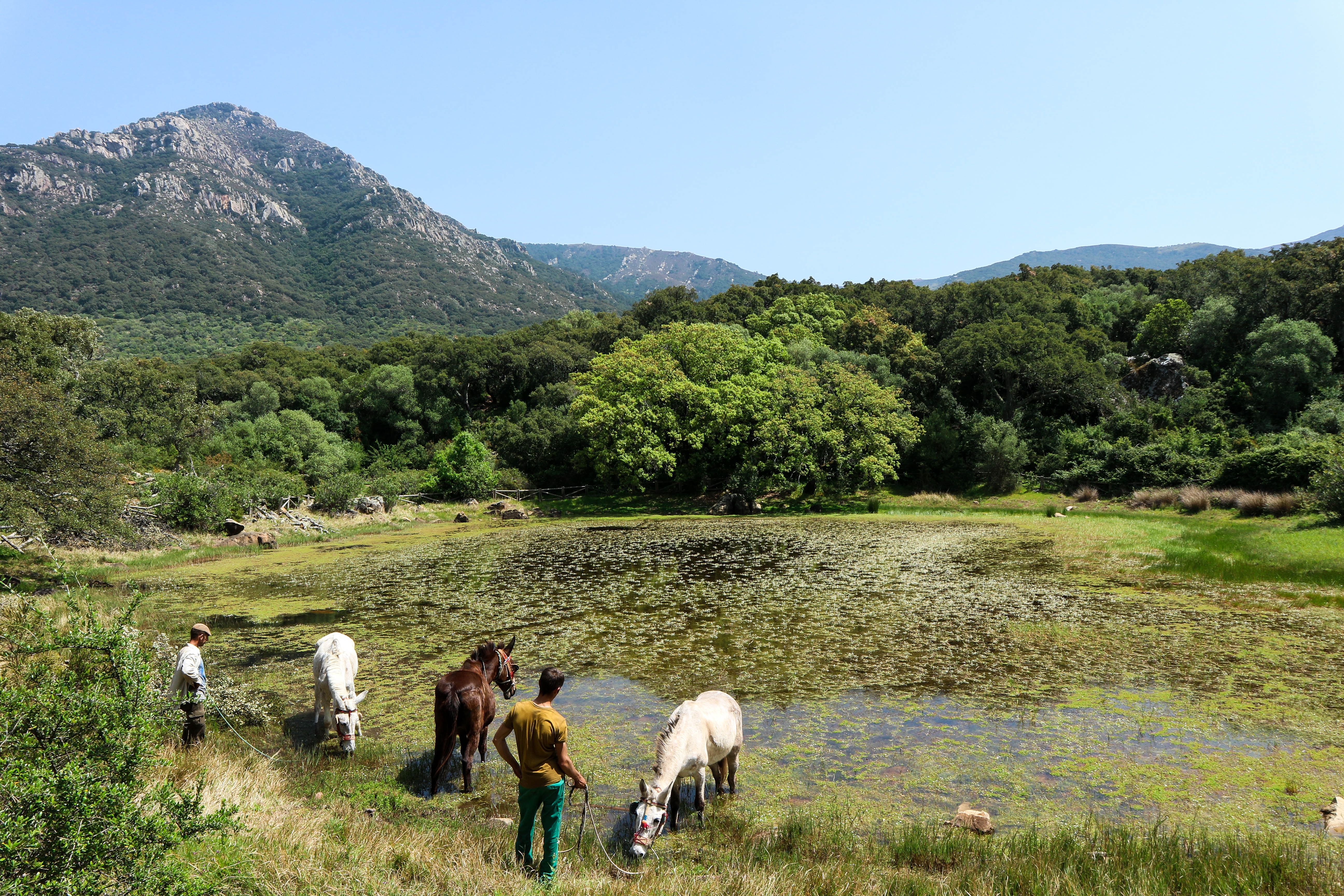
Los Llanos del Republicano
(Villaluenga del Rosario)
This track, the Plains of the Republican, is named after a pair of republican fighters who fled into these plains after the fascists secured the province of Cádiz at the beginning of the Spanish Civil War. Those fighters were shot there, but the valley name secures their memory.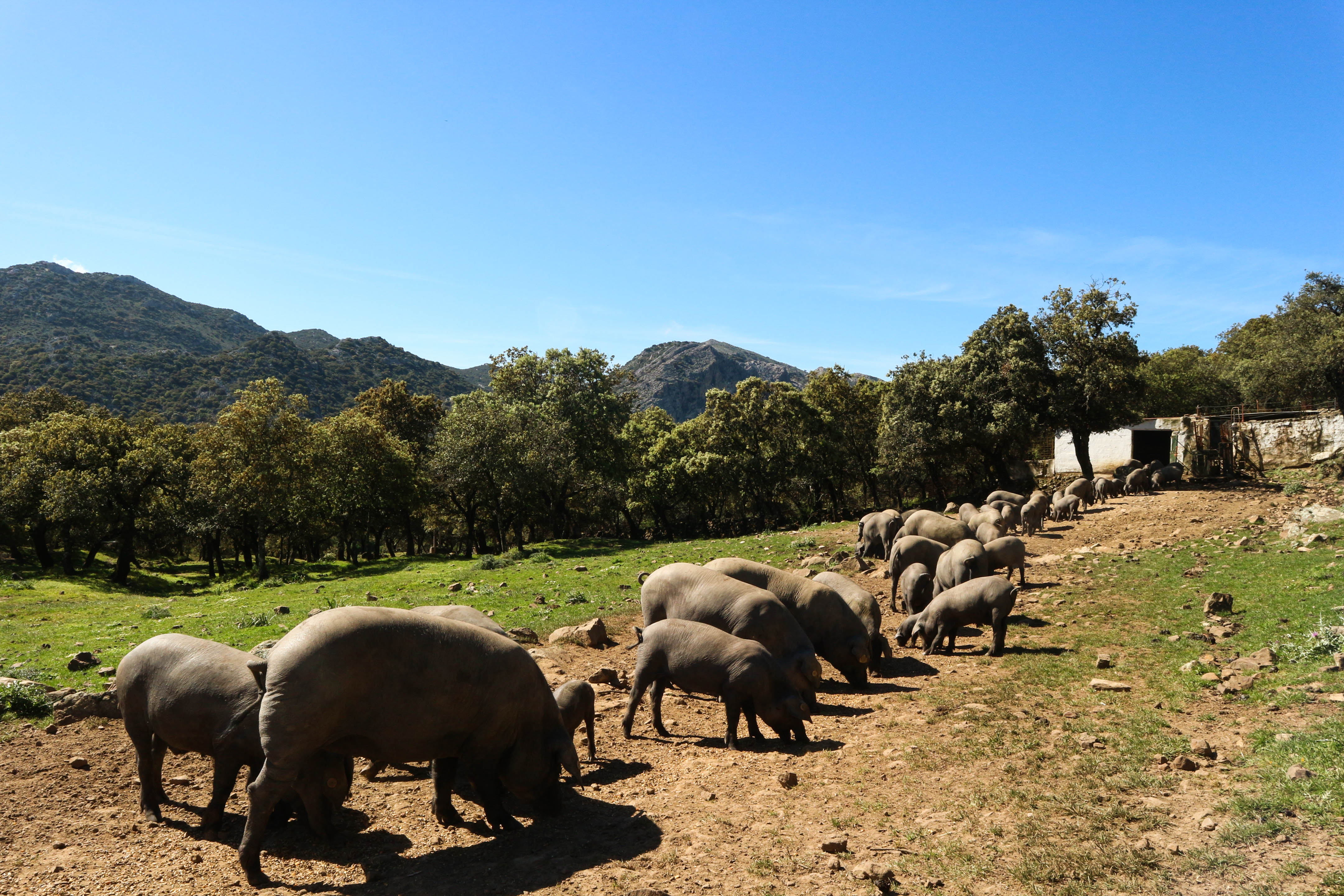
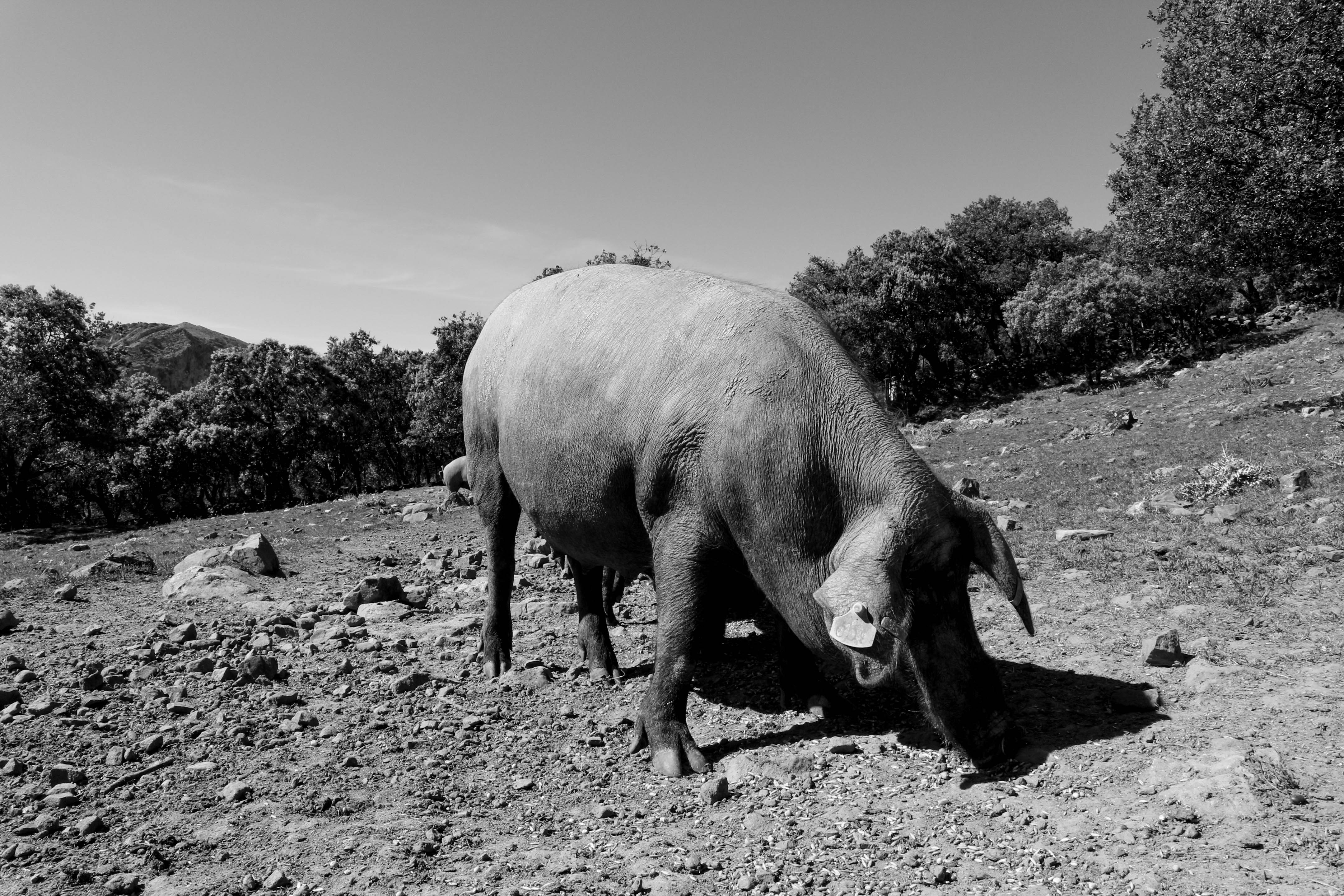
The walk through these flats is a gorgeous paseo passing by wildflowers and orchids, and along the way you’ll spot Villaluenga’s pride: the payoyo goat, the chief source of income for the famous cheese-producing town. Merino sheep also roam around, and the pig which Spaniards go loco for, the cerdo iberico, can be seen munching away under the oaks. Their fate is the tapas plate.
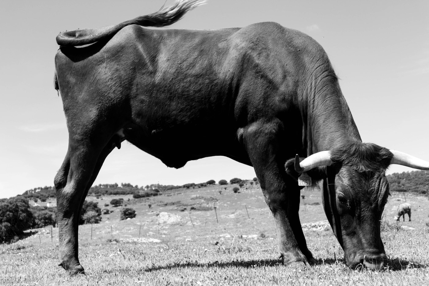
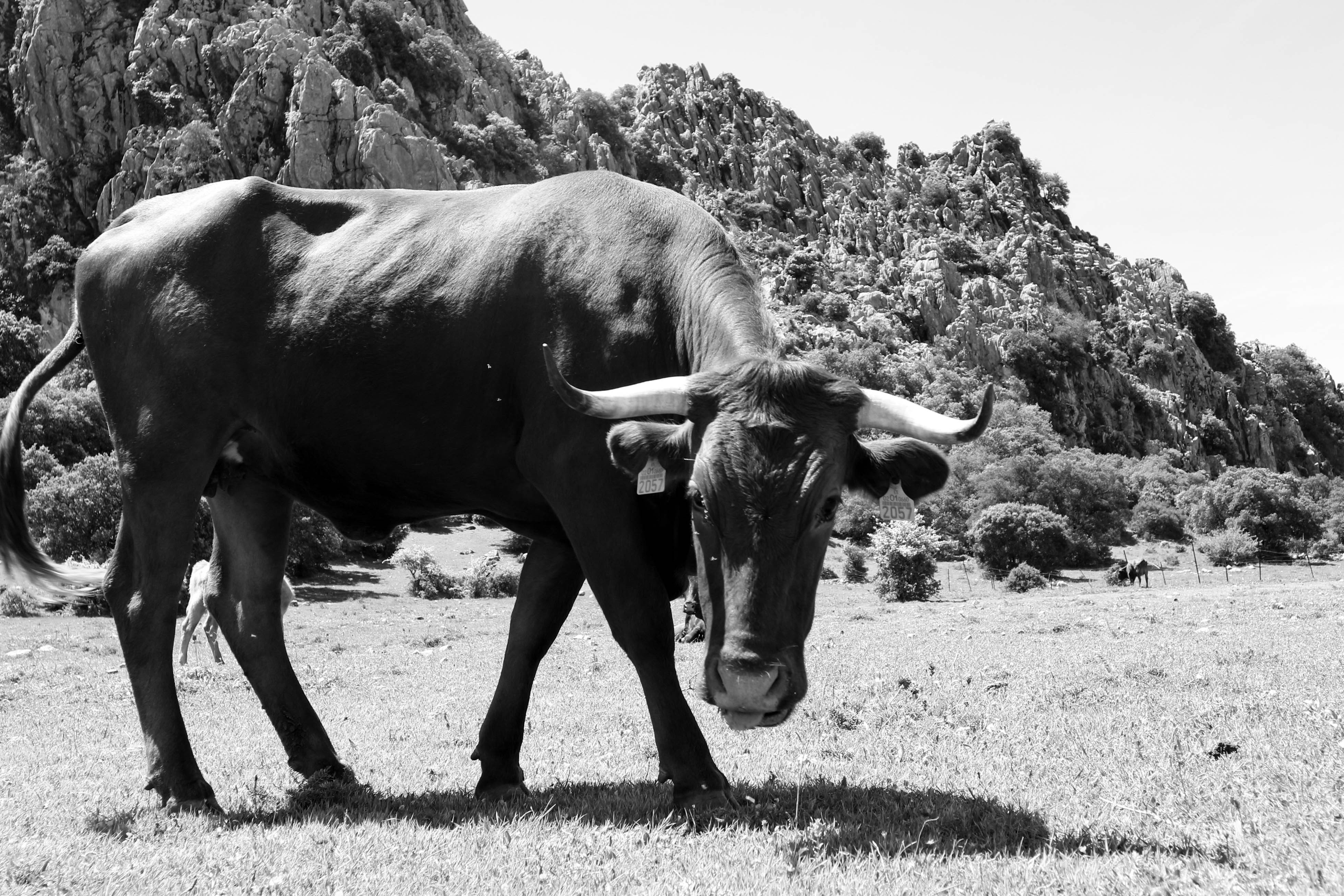
Here you can also spot semi-wild cows wandering around the plains. These are called retinta cattle, a type of breed which must be reared in a free-range environment. The breed’s tenderness, together with its environmentally-friendly rearing, has secured it fame in Spain. Its fate, the dinner plate.

The Sierra de Grazalema and the Alcornocales prove that man’s impact on the environment need not be so destructive and cruel as industrial food-production commands. They prove that a healthy balance can be struck between environmental preservation, commercial production, and eco-tourism to secure a common wealth.


Leave a comment